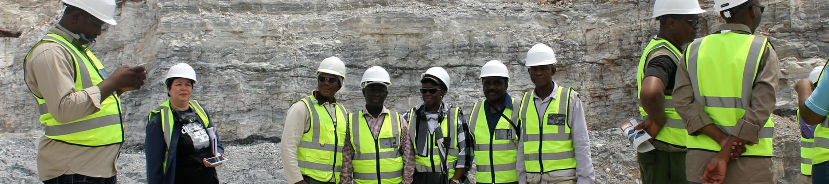
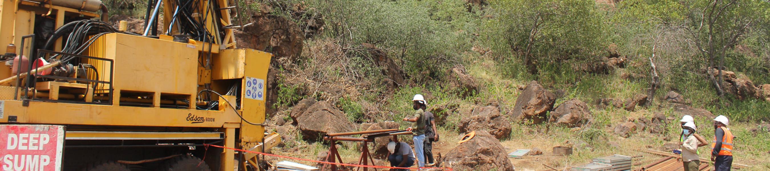
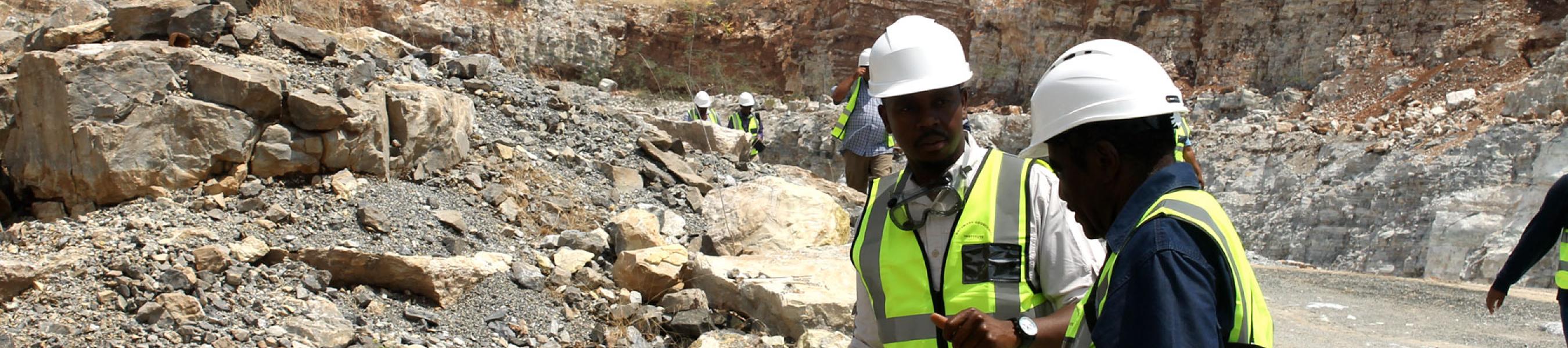
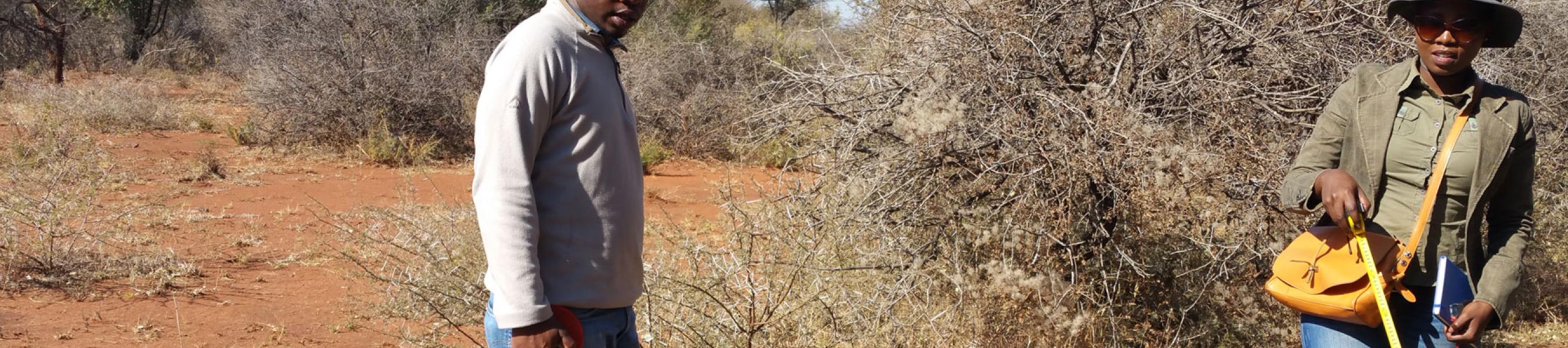
BGI is responsible for advancing geological knowledge of Botswana through research and geological mapping at different scales. This function comprises three (3) geoscience disciplines being Regional Geology, Geophysics and Geochemistry. Under this responsibility, BGI carries out field geological, geophysical, geochemical surveys and utilises other geoscience data such as drill hole (e.g. core, chips, and geophysical logs) and satellite imagery to map and update the geological maps and reports of Botswana.
Geological maps and reports are the basis of mineral exploration and sustainable land use management as they spatially show information on geological environments (rocks) and their economic potential or value to the socio-economic development of this country.
The key products and services are geological maps and bulletins, reports, publications, geoscience data and geological advice (Maps, link to Bulletins and Reports).