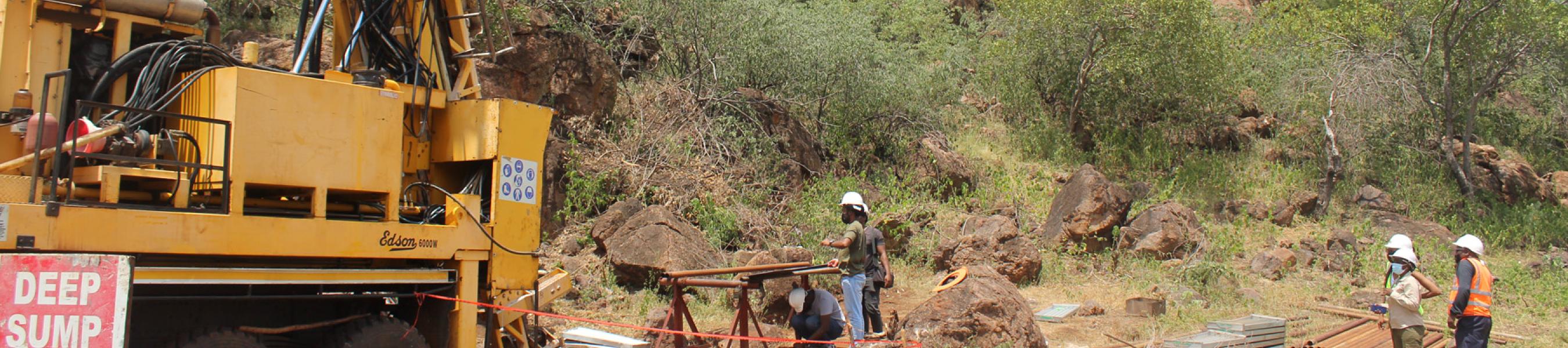
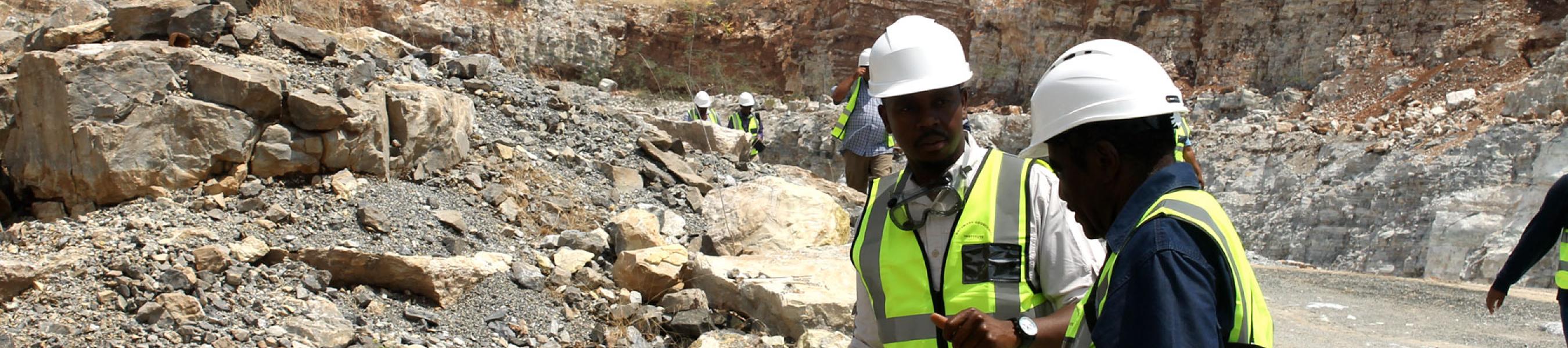
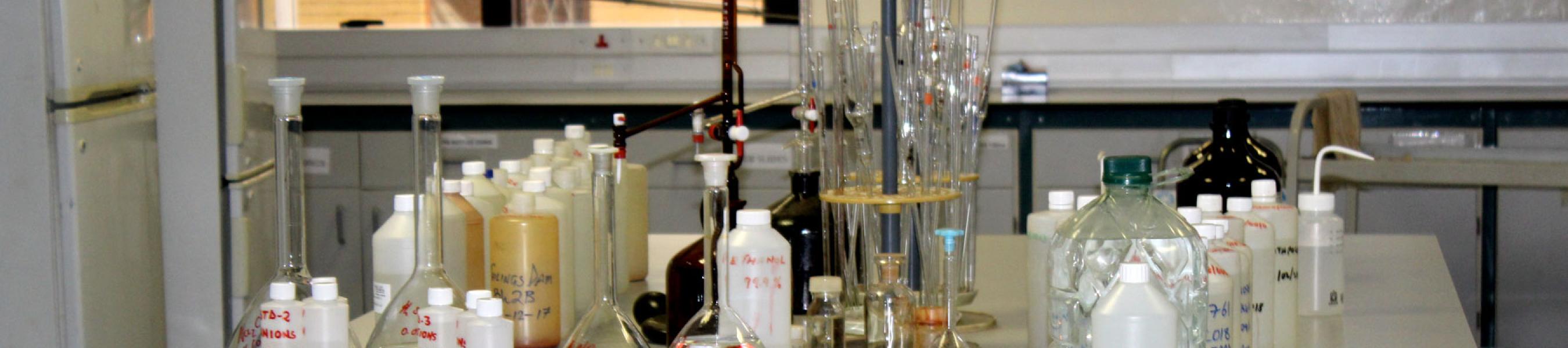
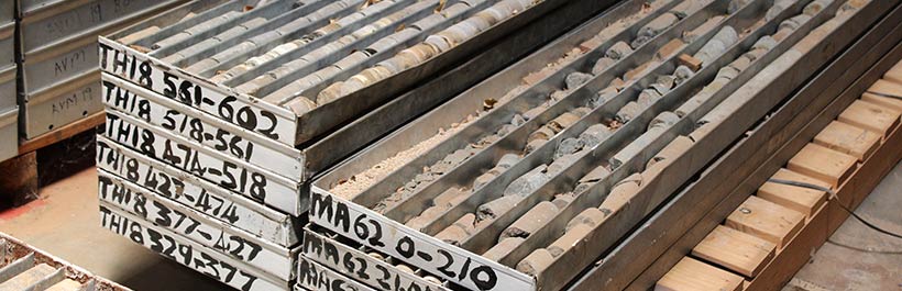
BGI offers drilling Services to a number of customers depending on their needs. The main focus areas are mineral exploration core drilling, stratigraphic drilling, water borehole drilling and drilling for geotechnical studies. This service is carried out to support BGI’s research initiatives, as well as attending to external clients’ needs on a cost recovery basis.
BGI is well-positioned to carry out stratigraphic, mineral exploration, geotechnical, and hydrolgeological drilling, including provision of specialised drilling services (undisturbed sampling with high sample recoveries), for both research purposes and as a response to external customers’ needs. BGI found it prudent to adopt this model to avoid high cost of outsourced drilling, and also to ensure flexibility and cost effectiveness in the delivery of strategic and collaboration projects.
Approximately 25% of Botswana, has surface exposed rocks and/or geological formations. Rocks generally outcrop in the narrow eastern corridor and in the Ghanzi ridge. Exploration in these areas was relatively friendly enabling the discovery of mineral deposits in the areas, consequently leading to the opening of mines. The remaining 75% of Botswana is concealed by the Kalahari sands. Minimal exploration has indicated that underlying the Kalahari sands are rocks that are potential metallogenic provinces that still remain untapped for mineral potential. Discovery of new deposits in these areas could go a long way in diversifying the mineral industry from the current diamond-dominated mining sector.
In order to map the unexposed pre-Kalahari geology covered by the Kalahari Sands, Botswana Government has since independence, embarked on aggressive nationwide geophysical mapping resulting in 90% of the land area covered in high resolution aeromagnetic and relatively high resolution gravity survey in the northern part, central and Molopo Farms areas.
In order to further identify and confirm rocks mapped using geophysical surveys, BGI is capacitated with drilling capability to support aggressive mapping projects. When the second edition of the national 1997 map and 1994 bulletin went into print, less than 20% of the country area was covered by 1: 125 000 (~15%) and 1: 250 00 scale geological maps (~ 5%). By 2011, with a combination of field geological mapping, geophysical interpretation and drilling (by DGS, 45% of the country had been covered by (37% of 1: 125 000 scale and 8% of 1: 250 000 scale) geological maps.