
Though the practice of geological survey started with the aim to address water needs, it later focused on coal and other minerals exploration. In 1944, the formation of a Geological Survey in Bechuanaland to serve the three High Commission Territories of Bechuanaland, Basutoland and Swaziland was mooted. This was supported on the condition that a central Geological Survey be in London to serve all the countries of the British Empire.
In 1946, a motion that a separate Geological Survey Department be established in the Bechuanaland Protectorate was passed. Funding for the Survey commenced on April 1948. The roles of the department were specified as mineral survey of the Bechuanaland Protectorate and mapping.
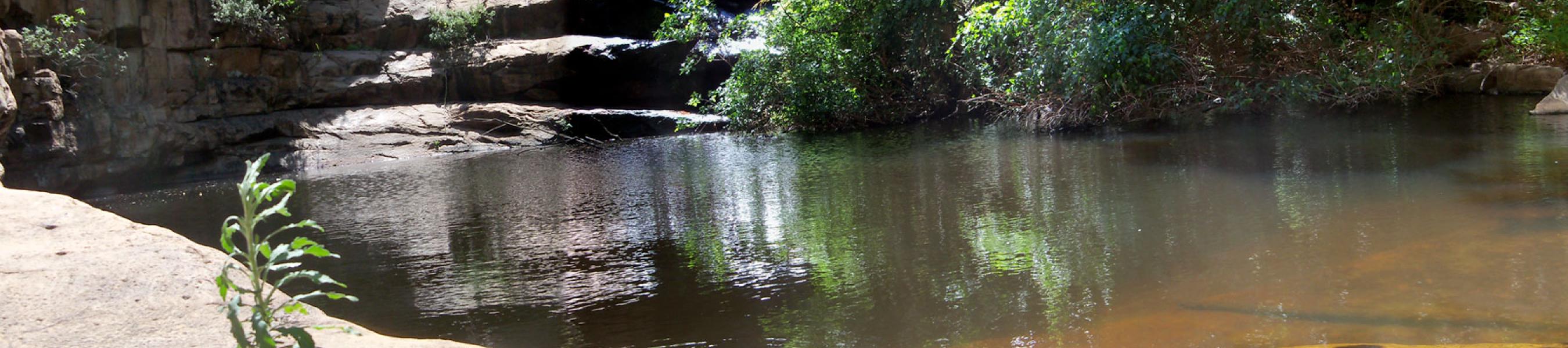
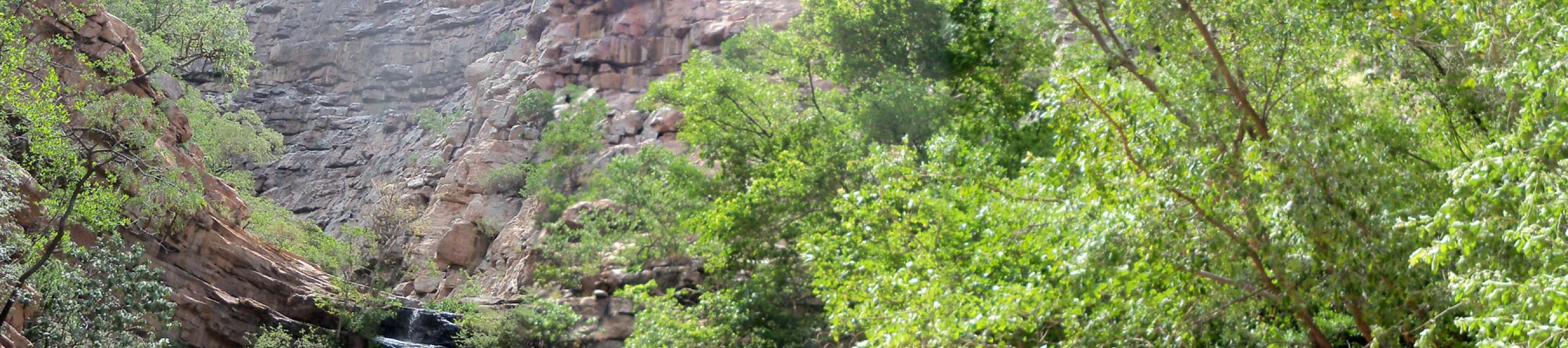
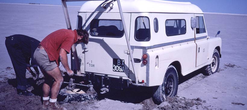
In the period before Botswana Independence, the Geological Survey was basically covering the ground in order to map the geology as well as find groundwater resources. The lack of initial geological knowledge was compounded by the unavailability of good air-photographs. However improved air-photography in the late 1950s led to the first proper topographic surveys which in turn enabled systematic geological mapping.
The first phase of the coal exploration by the Geological Survey ran from 1950 to 1963. The Morupule, Kgaswe and Mmamabula deposits are all a result of the Geological Survey work. The target was steam coal for the railways.
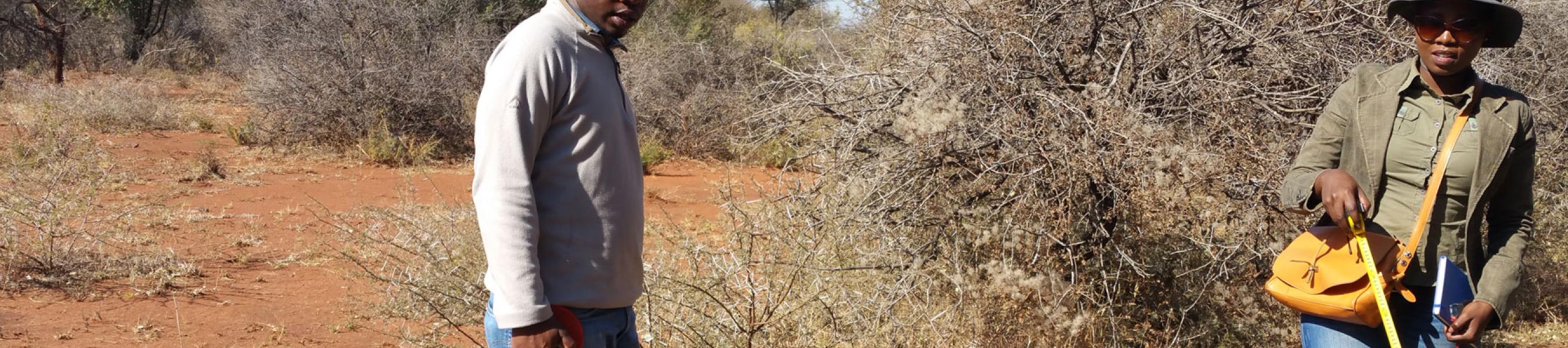
The post-Independence era ushered in discoveries of base metals and diamonds, which put Botswana high on the list of priorities for several mining companies. Though the eastern part of the country was well mapped due to its exposure, the larger part of the country covered by Kalahari sands remained unmapped.
Botswana Geological Survey saw the establishment of a Mines Inspectorate Division within the Survey in 1969 due to the increasing contribution of the mineral industry to the economy of Botswana due to the discovery of copper-nickel in Selebi Phikwe and diamonds in Orapa.
In 1970 the Department of Geological Survey and Mines was formally established under the Ministry of Commerce, Industry and Water Affairs but a re-organisation of Government in 1973 constituted a new Ministry of Mineral Resources and Water Affairs and Department of Mines was formed and moved to Gaborone.
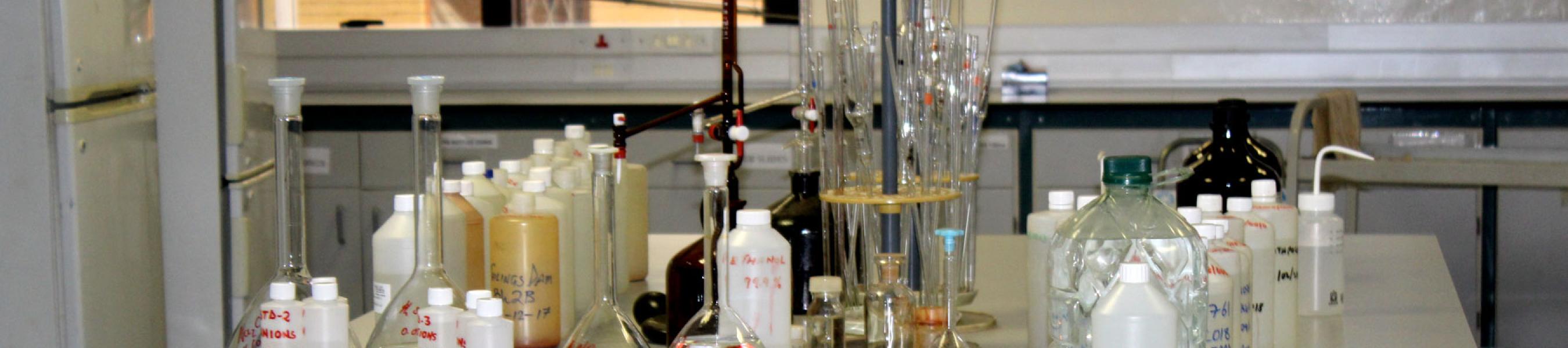
Until 2014 when BGI was formed, the practice of Geological Survey progressed and evolved with notable achievements such as; Geological mapping, Geophysics, Economic Geology, Hydrogeology, Environmental Geology, Laboratory and drilling facilities and National Geoscience Information Centre (NGIC).
BGI started operations in earnest in June 2017 and currently employs 112 staff members against an approved establishment of 225.