
Overview
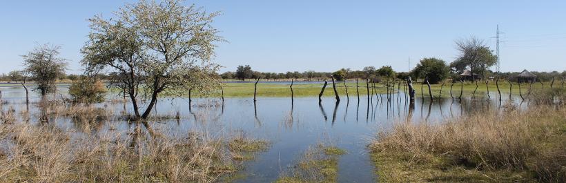
Gweta and Zoroga villages in the Tutume sub-district were recently affected by floods that came as a result of heavy rainfalls in February 2018. More than one hundred homesteads were destroyed by floods, leaving hundreds of people homeless in Zoroga village alone.
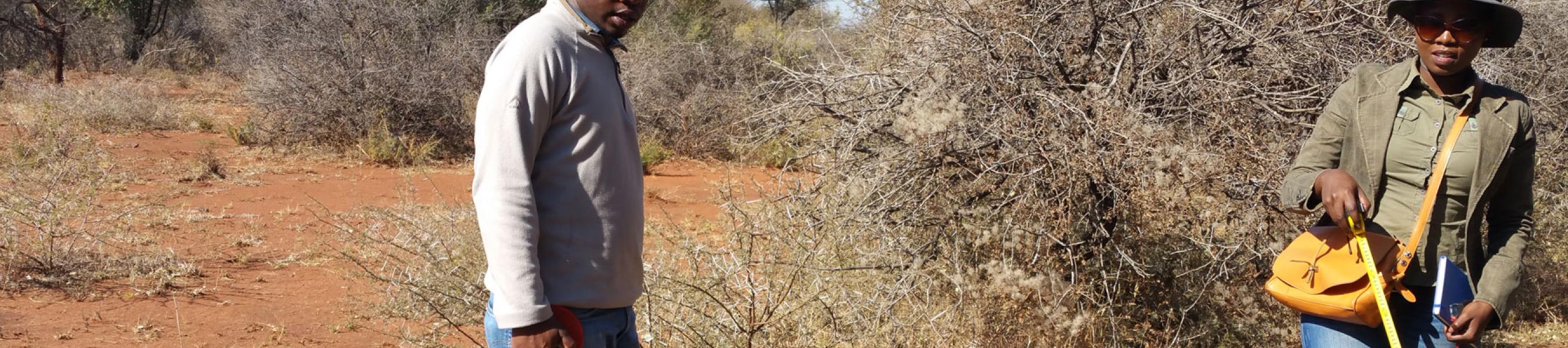
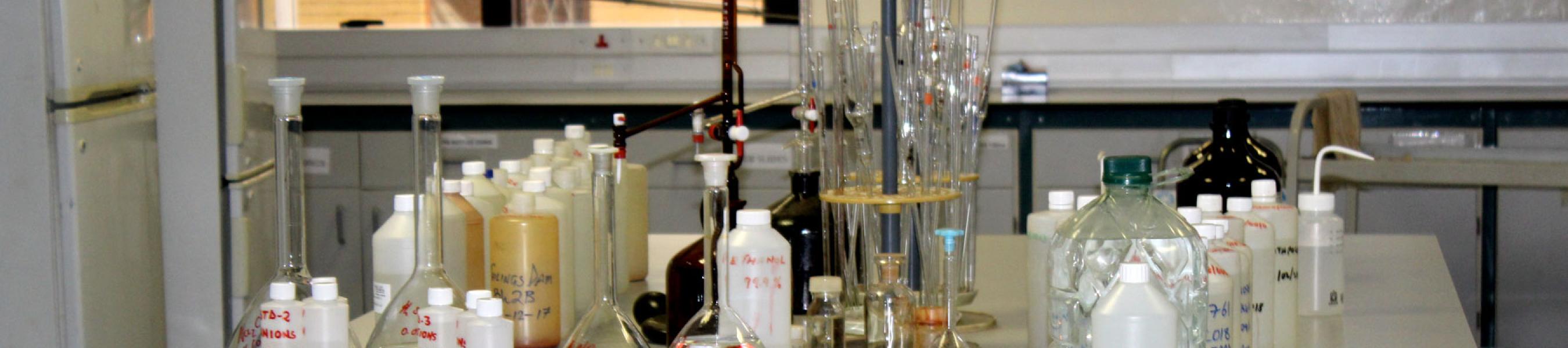
Botswana Geoscience Institute (BGI) is undertaking this project to investigate and establish the cause of floods, with a view to recommend mitigation measures from a scientific perspective. A reconnaissance study was conducted in Zoroga and Gweta villages and a preliminary report with recommendations was produced. Detailed technical assessment by a Multi-Sectoral team including BGI alongside has been assembled to establish the cause of flooding in the area. The investigation will assess potential groundwater pollution as well as make recommendations on risk reduction of the floods. Other expected deliverables are;
- Flood zonation map of the area
- Topographic map at a suitable scale with 2 m contour intervals indicating storm-water drainage lines
- Geochemistry map of the area
- Hydrological Report