
BGI has is undertaking this Project due to the accelerated infrastructure development in the Palapye area, Central District of Botswana.
Project overview
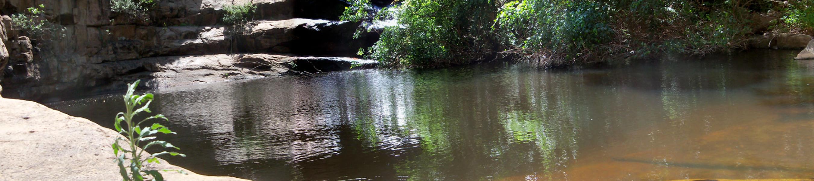
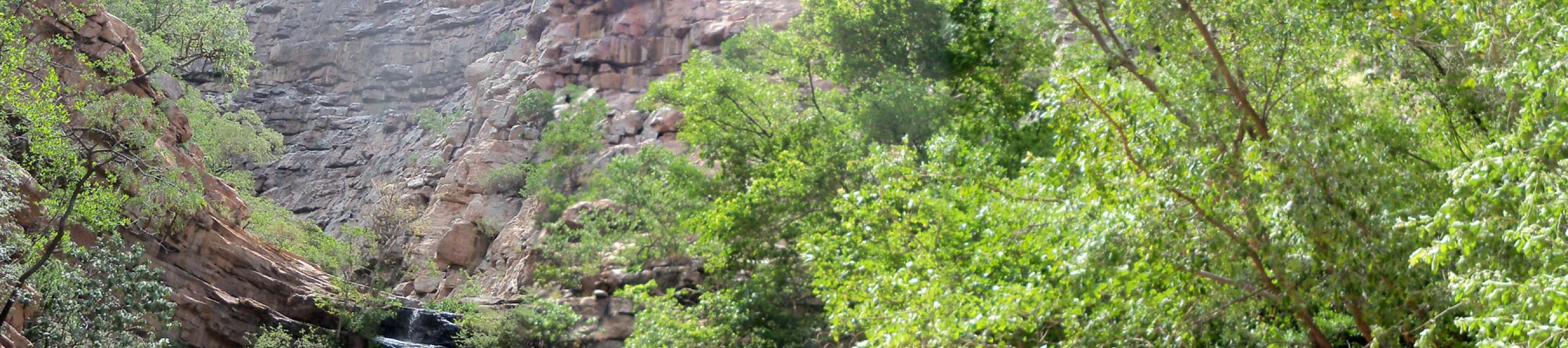
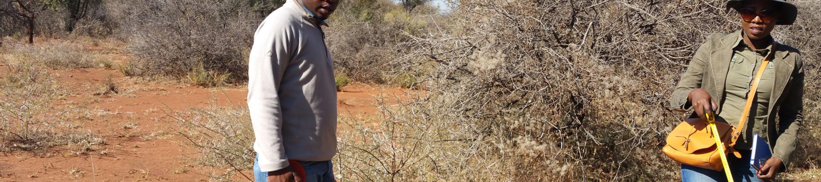
This project entails identification and assessment of potential and natural constraints as they impact on development and infrastructure provision and affect future land use planning i.e. Geotechnical, topographical & hydrological conditions.
The project deliverables are;
- 2D and 3D subsurface models
- Geotechnical planning maps at a scale of 1:5000
- Topographic Map at a scale 1: 5000, with 2 m contour intervals
- Flooding zones map
- Development suitability maps
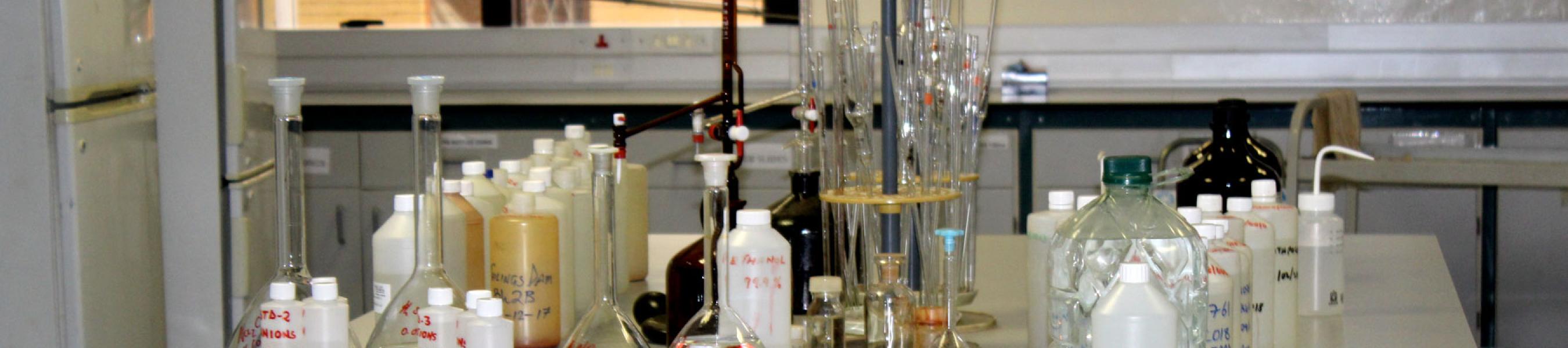
- Geotechnical Engineering Report detailing recommendations for housing and general infrastructure foundations
Other areas targeted for a similar exercise in the future are Gaborone, Francistown and Serowe.
Project Status