
Malete Sub-Landboard Sub-Landboard engaged Botswana Geoscience Institute (BGI) to investigate three areas earmarked for development in Ramotswa, Boatle, and Otse villages. The project was completed in January 2021 and the total areal coverage of the project site is 362 hectares.
Seventy-six percent (76%) of the area at Boatle was found to be covered by alluvial clays and sandy clays, which are least favorable to development due to the presence of high plasticity and poor founding material. Further away from the river floodplain, the area was covered by coarse colluvium underlain by highly weathered mudstones constituting 23.7% of the land area considered for development. The latter was classified as intermediate. A flood risk assessment was recommended as the risk of flooding was envisaged.
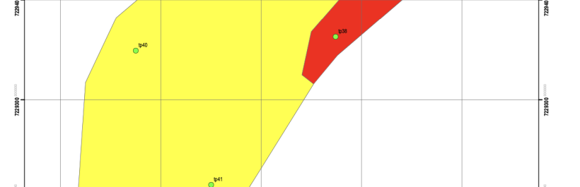
In Ramotswa, the proposed area for development (139 hectares) is located in the southern part of the village. Up to 70% of this area was found to be covered by thick alluvial desiccated clay deposits to a depth of 2.3m. These are associated with northeast-trending Notwane river tributaries.
The material has a high percentage of fines ranging between 54% to 78% and medium to high plasticity
values ranging between 17.4 and 26%. As indicated by the surface desiccation cracks in the field, the clay horizon exhibits high shrinkage values ranging between 7 to 13.3%. Due to the presence of these
heaving clays in a generally poorly drained area, the area was classified as Least Favourable. The area considered habitable is relatively small, covering only 24 hectares (30 % of the entire area).This area is classified as intermediate (restricted to the boundaries of the area), most favorable (characterized by shallow, well-developed ferricrete).
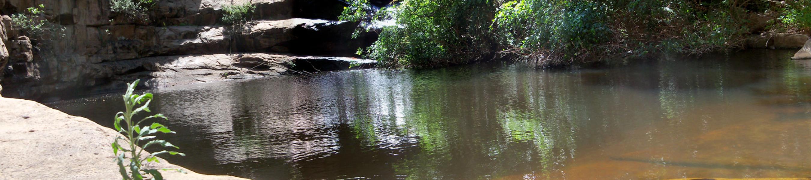
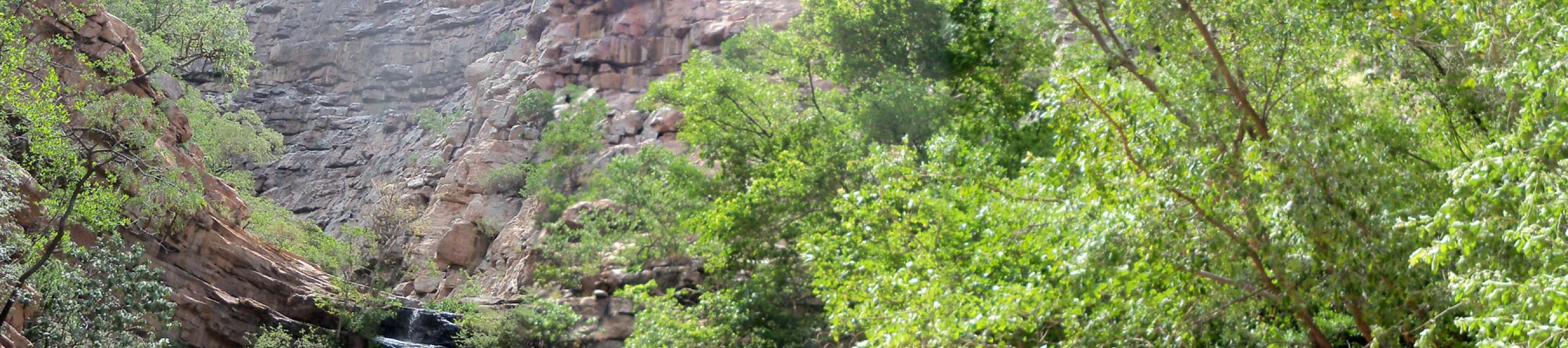
The Otse project site (12hactres) is located on a flat plain at the foot of Maladiepe hill with the Nywane River floodplain forming the eastern boundary. Fine to medium grained colluvium covers up to 91.6% of the area and is underlain by weakly developed ferricrete at depths ranging from 04 to 2.6m. Treatment would require excavation of transported colluvium and replacement with competent material (G5) to depths of 1.5*width of footing. The area was hence classified as intermediate. Nywane river alluvial clays cover a small portion (83%) of the to depths of 1.85m. Due to the abundance of clays, this area is the least favorable.
Key words: Alluvial clays, clays,sandy clays,plasticity
Click here to download Otse Suitability map
Click here to download Ramotswa Area1 suitability map
Click here to download Ramotswa Area2 suitability map