

Summary
In 2020, the project “Consultancy Services for the Interpretation of Aeromagnetic Data of Northern Botswana” was undertaken by an international consortium with the primary objective to advance the geological knowledge in an area concealed by thick Kalahari sands, to unlock mineral potential and provide comprehensive data/information to foster private sector investment.
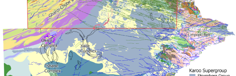
The project was completed over a two-year period and resulted in the publication of new Pre-Kalahari geological interpretation maps at scales 1:125,000, 1:250,000, and 1:1,000,000, new surficial geology maps at scales 1:250,000 and 1:1,000,000, and new structural, mineral potential, Kalahari and Pre-Kalahari hydrogeological maps at scales 1:1,000,000. An updated National Pre-Kalahari Geological Map of Botswana at scale 1:1,000,000 and National Geological Bulletin of Botswana incorporating more than 20 years of geoscience work was also published.
Introduction
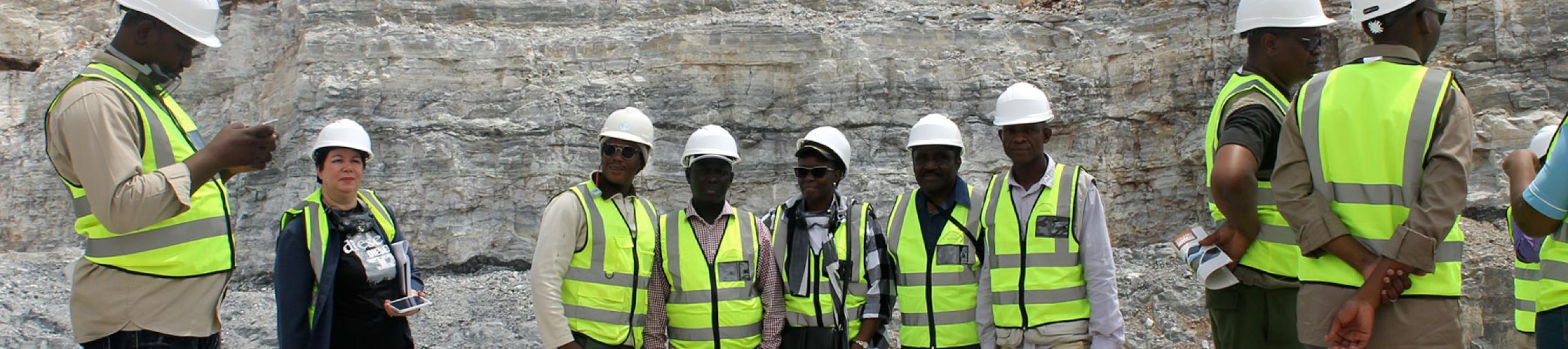
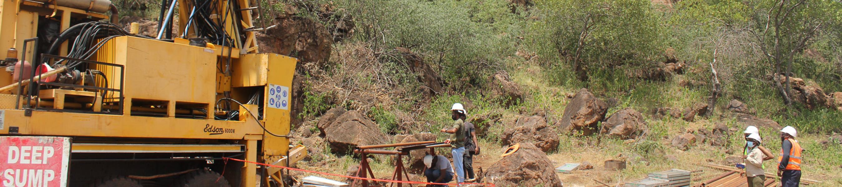
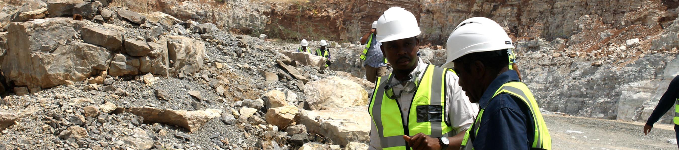
In June 2020, a consortium comprised of a Canadian company, Paterson, Grant & Watson Ltd (PGW), and two Botswana companies, Water Resources Consultants (WRC) Pty Ltd and SkyTrack Pty Ltd, were contracted by the Botswana Geoscience Institute (BGI) to undertake the project “Consultancy Services for the Interpretation of Aeromagnetic Data of Northern Botswana”. The project's primary objective was to interpret aeromagnetic data covering Northern Botswana at a scale of 1:250,000, comprising all quarter-degree sheets that have not been mapped previously and to update those that were partially mapped. The project aimed to advance the geological knowledge in the area by mapping the subsurface geology and structure of the area concealed by the thick Kalahari sands, to unlock mineral potential and provide comprehensive data/information to foster private sector investment in mineral exploration and/or exploitation.
Click here to download complete report...